
Фотографии
-
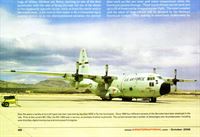
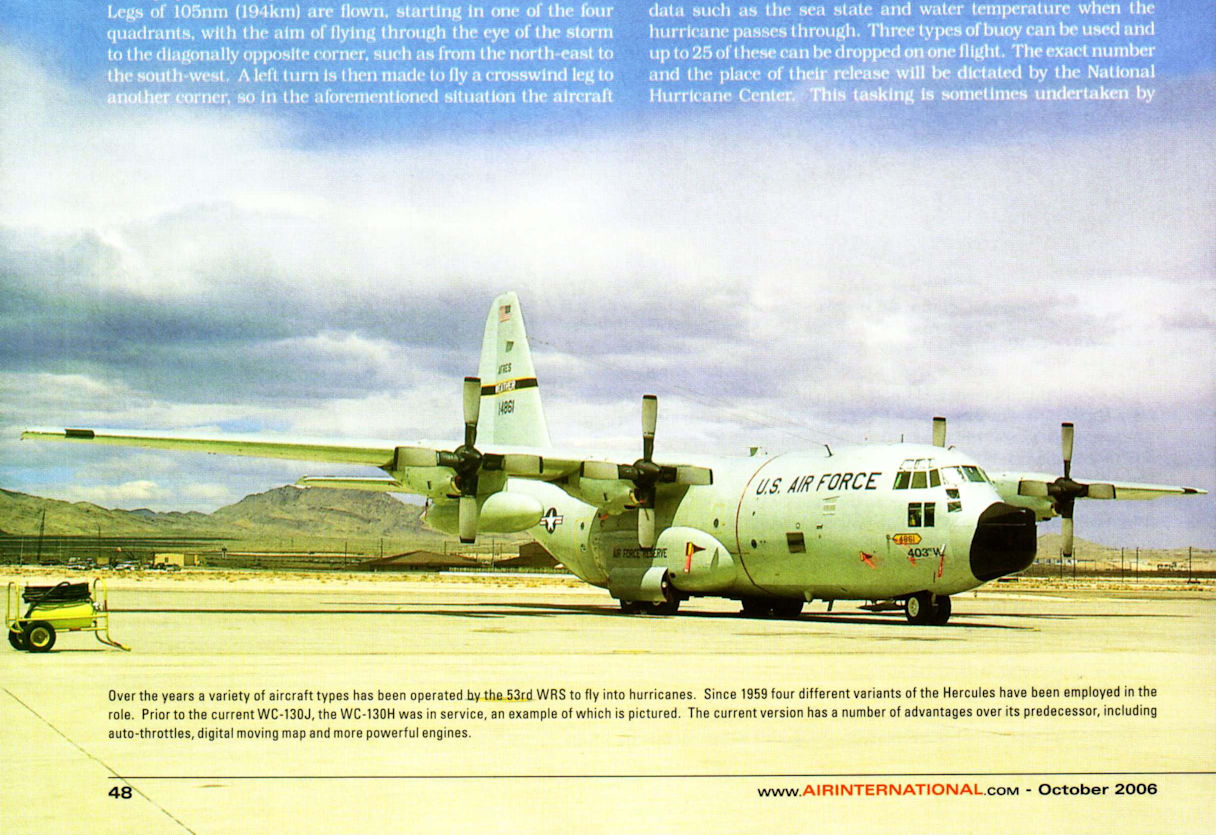
Over the years a variety of aircraft types has been operated by the 53rd WRS to fly into hurricanes. Since 1959 four different variants of the Hercules have been employed in the role. Prior to the current WC-130J, the WC-130H was in service, an example of which is pictured. The current version has a number of advantages over its predecessor, including auto-throttles, digital moving map and more powerful engines.
Самолёты на фотографии: Lockheed C-130 Hercules - США - 1954
-
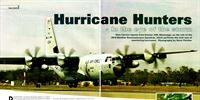
Above.This WC-130J is one often used by the 53rd WRS to gather data on storms out at sea. This helps meteorologists forecast the intensity of these powerful weather systems and predict the direction in which they will travel.
Самолёты на фотографии: Lockheed C-130J Super Hercules - США - 1996
-
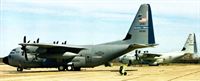
To emphasise the airlift mission and the fact that in the future the unit may be tasked to fly in war zones, its aircraft are gradually being repainted in the standard grey scheme worn by the USAF transport Hercules fleet. The aircraft in the background of this picture is wearing the previous colour scheme, providing a comparison. New tail markings with the words Hurricane Hunters and a symbol representing a hurricane are also being applied.
Самолёты на фотографии: Lockheed C-130J Super Hercules - США - 1996
-
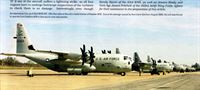
An impressive line-up of 53rd WRS WC-130J Hercules at the unit's home station of Keesler AFB. Due to the damage caused by Hurricane Katrina in August 2005, the unit was forced to operate from Dobbins AFB in Georgia for over two months.
Самолёты на фотографии: Lockheed C-130J Super Hercules - США - 1996
-
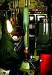
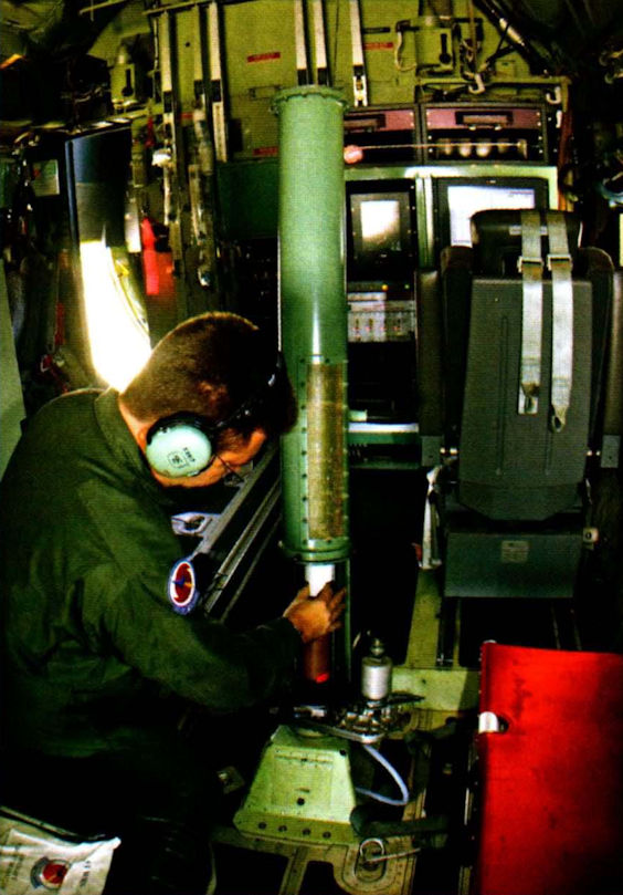
A weather reconnaissance loadmaster positions a sonde in the launch tube, which ejects the instrument out through the floor of the aircraft. On release, the sonde deploys a parachute and will float down to the sea, sending back readings on wind speed, temperature, dew point and barometric pressure.
Самолёты на фотографии: Lockheed C-130J Super Hercules - США - 1996
-

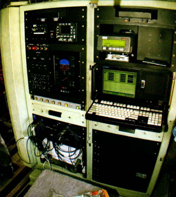
A weather reconnaissance loadmaster at his workstation. They are responsible for ensuring the quality of the data received from the sondes and for transferring it to the aerial reconnaissance weather officer, who sits opposite.
Самолёты на фотографии: Lockheed C-130J Super Hercules - США - 1996
-
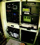
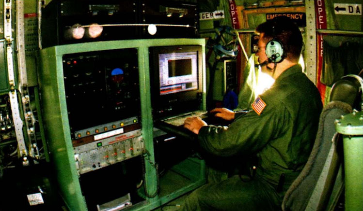
The workstation of an aerial reconnaissance weather officer, who is a qualified meteorologist. He or she will analyse the data gathered during a flight and transmit the most important information via satellite to the National Hurricane Center in Miami.
Самолёты на фотографии: Lockheed C-130J Super Hercules - США - 1996


Статьи
- News: Headline, Military, Civil, Accidents
- ??? - Cruzex III - South American Air Exercise /Military/
- A.Mladenov - MiG-25 Foxbat /Military/
- B.Hales-Dutton - Buffalo Airways /Commercial/
- B.Hales-Dutton - Condor. Leaner and Fitter at 50 /Commercial/
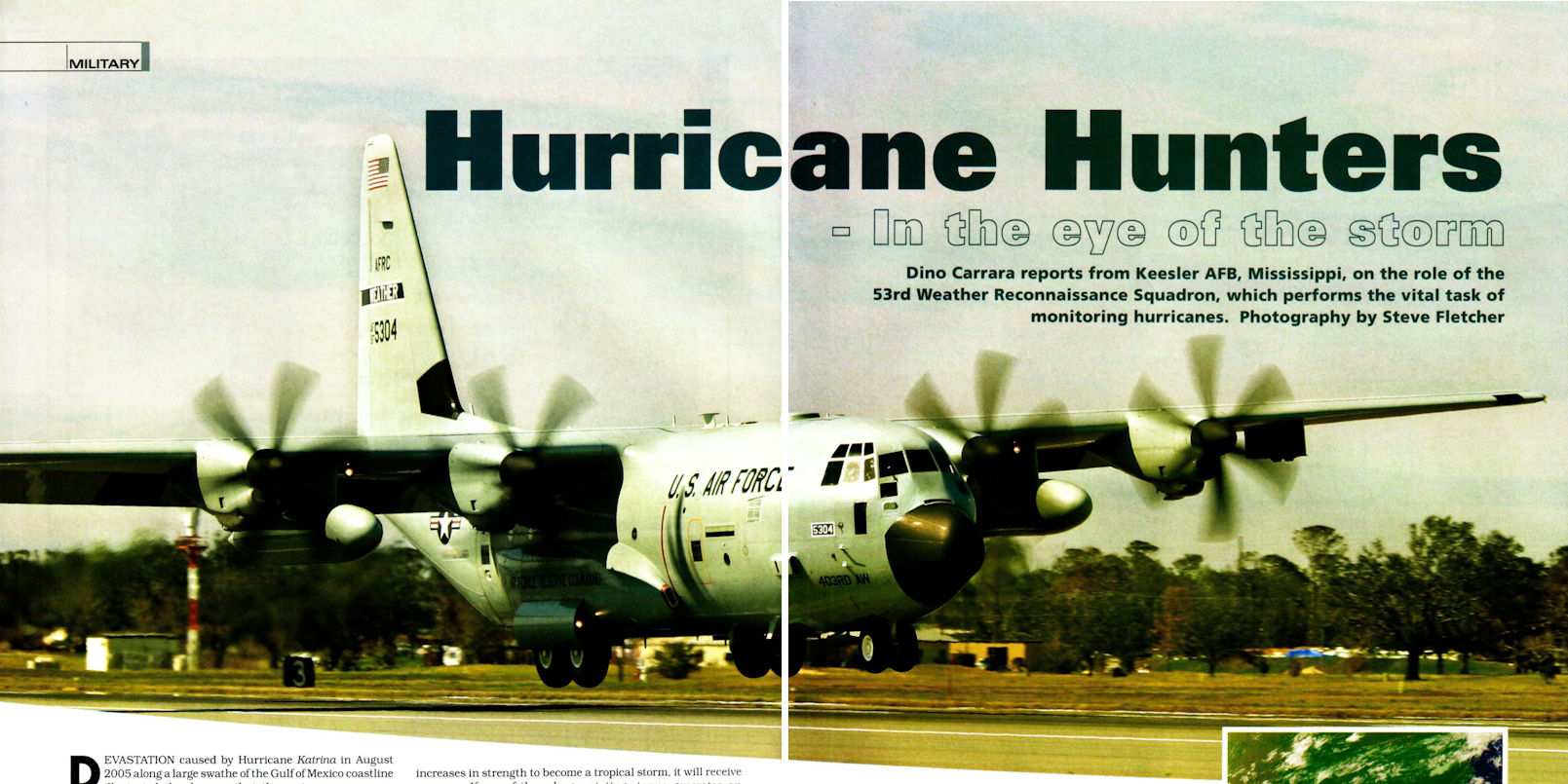
- D.Carrara - Hurricane Hunters - In the eye of the storm /Military/
- D.Willis - BAC One-Eleven /Aircraft profile/
- I.Black - Baptism Of Fire /A pilot's story/
- P.Butowski - Regional Rivalry /Commercial/
- S.Aloni - Israeli Skyhawks /Military/
- T.Ripley - Close Air Support in 21st Century /Military/